
I grew up thinking I knew the West Coast. Big Sur, the San Juans, Zion (okay, not technically West Coast, but you get the idea) the postcard spots everyone tags on Instagram.
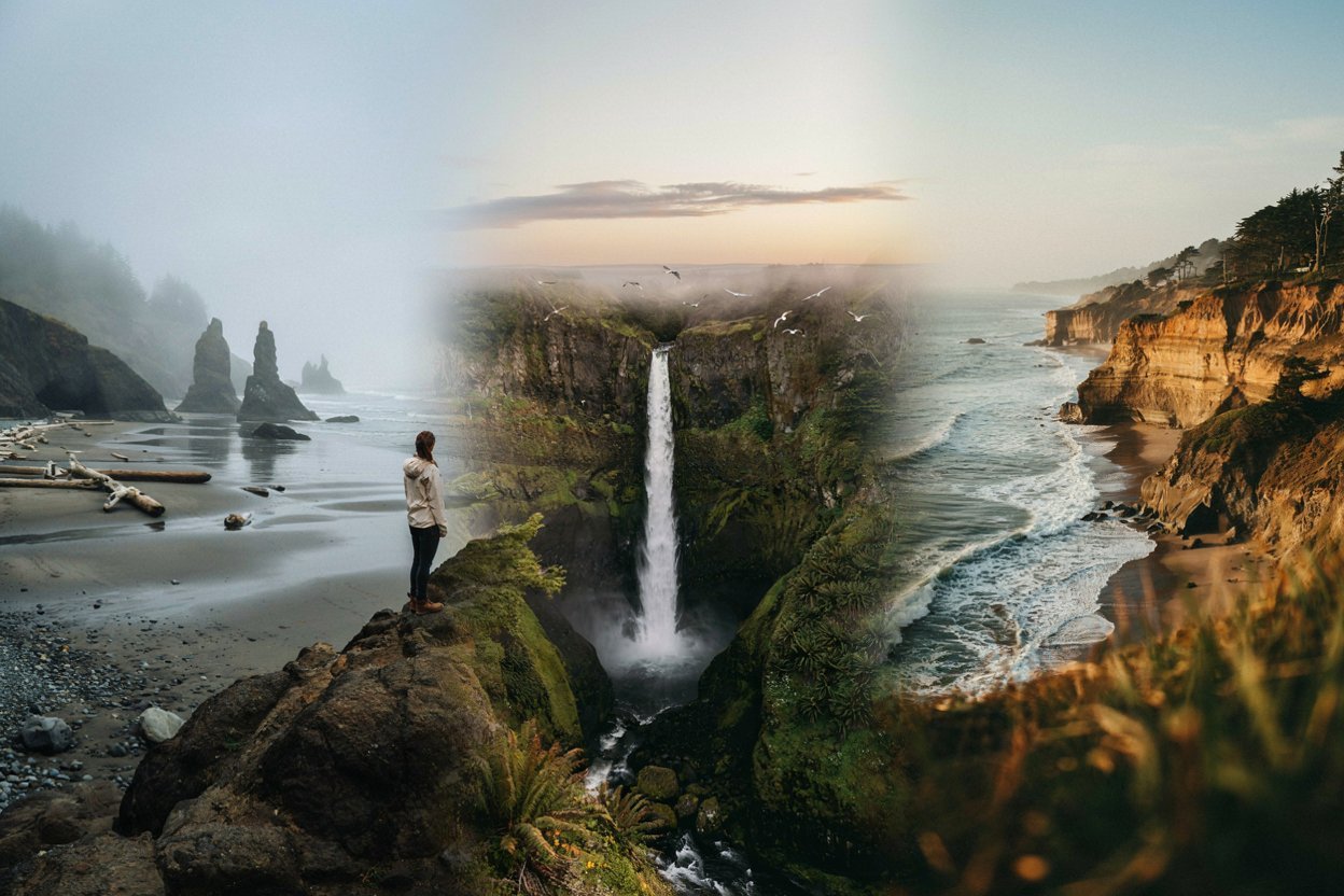
Then a friend dragged me down a gravel road in Oregon with no cell signal, and I found myself standing in front of a waterfall I’d never even heard of, completely alone.
That afternoon changed how I travel. Now I chase the places that don’t trend, and honestly, they’re the ones I think about most. This list is for you if you want that same feeling.
Why Hidden Gems Are Worth the Detour
Before I get into the list, I want to be honest about something: hidden gems take a little more effort. You might need a full tank of gas, a paper map as backup, and a willingness to leave your itinerary loose.
But that effort is exactly what makes these places feel special.
There’s no crowd control, no timed entry tickets, no jostling for the same photo spot. Just you, the landscape, and the quiet thrill of discovering something for yourself.
I’ve grouped this guide by state, moving from Washington down through Oregon and into California, so you can build a coastal road trip around it if you’re feeling ambitious.
If you love long drives and short crowds, this one’s for you, and if hiking is more your speed, I’ve also put together a guide on hidden hiking trails without the crowds that pairs beautifully with this list.
Washington’s Quiet Corners
Palouse Falls
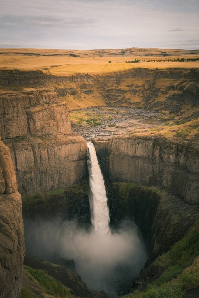
Image prompt: Ultra-realistic photograph of Palouse Falls plunging into a canyon carved from basalt cliffs, golden wheat fields stretching to the horizon above, soft late-afternoon light, a thin mist rising off the plunge pool, wide-angle landscape composition, cinematic color grade.
Tucked into the rolling wheat country of southeastern Washington, Palouse Falls plunges nearly 200 feet into a plunge pool carved out by the Ice Age floods that shaped this part of the state thousands of years ago.
It’s the official state waterfall of Washington, yet most visitors to the state never make it out this way because it sits a few hours from the coastal cities everyone flocks to.
The overlook is an easy walk from the parking area, so you don’t need to be an experienced hiker to see it. Go in spring when snowmelt swells the falls, and bring layers, because the open landscape means wind.
Cape Flattery
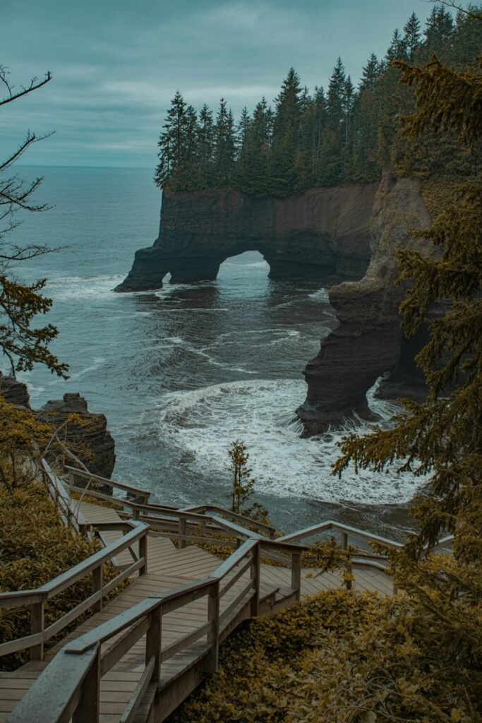
Image prompt: Cinematic photograph of dramatic sea cliffs and sea caves at Cape Flattery, moody overcast Pacific Northwest sky, a wooden boardwalk trail winding through old-growth forest in the foreground, waves crashing against dark rock arches below, muted blue-green tones.
At the very northwestern tip of the contiguous United States, on the Makah Reservation near Neah Bay, Cape Flattery feels like the edge of the world.
A short boardwalk trail through old-growth forest opens onto dramatic sea cliffs, sea caves, and views out to Tatoosh Island. On a clear day you can watch waves crash into the rock arches below while eagles circle overhead.
A Makah Recreation Pass is required and can be purchased locally, so plan to pick one up in Neah Bay before you head to the trailhead.
Lopez Island
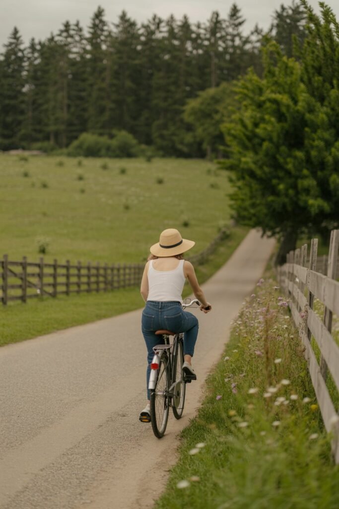
Image prompt: Casual iPhone-style photograph of a woman on a bicycle riding a quiet farm road on Lopez Island, weathered wooden fences, wildflowers along the roadside, soft diffused daylight, relaxed candid travel mood, shallow depth of field.
Everyone talks about San Juan Island and Orcas Island, but Lopez Island, the third of the San Juan Islands accessible by ferry, is the one locals quietly prefer.
It’s flatter and easier to bike across, with quiet farm roads, small bakeries, and beaches where you can watch harbor seals without another soul in sight.
Rent a bike right off the ferry dock and spend the day pedaling between Spencer Spit State Park and the tiny village center. If islands are calling to you, my guide on the best beach destinations in the USA covers a few more coastal favorites worth bookmarking.
Dungeness Spit
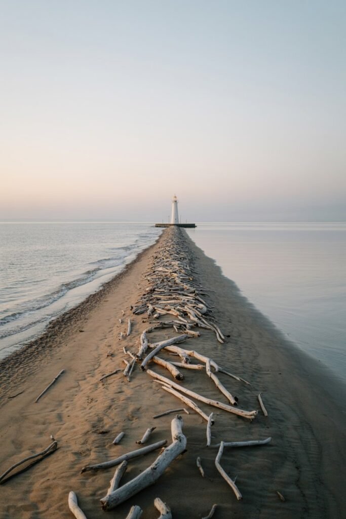
Image prompt: Wide-angle cinematic photograph of a narrow sand spit stretching into calm water toward a white lighthouse in the distance, pale morning light, gentle fog, driftwood scattered along the shoreline, minimalist coastal composition.
On the Olympic Peninsula, Dungeness Spit is the longest natural sand spit in the United States, stretching over five miles into the Strait of Juan de Fuca toward a working lighthouse.
Most visitors only walk the first mile or two, which already feels wonderfully remote, but if you’re up for it, the full out-and-back to the New Dungeness Lighthouse makes for a memorable day.
Check tide charts before you go, since parts of the spit narrow significantly at high tide.
Ross Lake
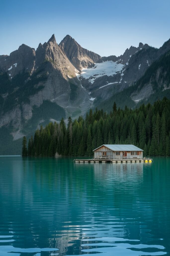
Image prompt: Ultra-realistic photograph of turquoise Ross Lake framed by jagged snow-capped North Cascades peaks, a small wooden float cabin in the foreground, still reflective water, early morning light, National Geographic–style landscape photography.
Straddling the border between Washington and British Columbia inside North Cascades National Park, Ross Lake is a turquoise reservoir hemmed in by jagged, glacier-carved peaks.
Because there’s no road that reaches the main body of the lake from the Washington side, most visitors either hike in, paddle in, or take a small water taxi arranged through Ross Lake Resort, a cluster of floating cabins that has no road access at all.
That inconvenience is exactly why it stays so peaceful.
If you’re the kind of traveler who likes a lake with a story, it’s worth reading more about the surrounding park in general, since it rarely makes anyone’s must-see list despite genuinely rivaling the Canadian Rockies in scenery.
Rialto Beach and Hole-in-the-Wall
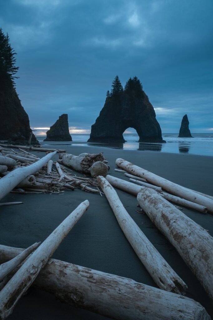
Image prompt: Cinematic photograph of a sea arch at Hole-in-the-Wall on Rialto Beach, driftwood logs scattered across dark sand, towering sea stacks silhouetted against a stormy Pacific sky, dramatic low-tide composition, moody blue-grey palette.
On the wild, storm-battered coast of Olympic National Park, Rialto Beach is easy enough to reach by car, but few visitors walk the full 1.5 miles north to Hole-in-the-Wall, a sea arch carved through a rocky headland.
The hike follows a driftwood-strewn beach beneath towering sea stacks, and at low tide you can walk straight through the arch itself and explore tide pools thick with anemones and starfish on the other side.
Tide timing matters enormously here, so check a tide chart the night before and aim to arrive on a falling tide for the safest and most rewarding walk.
Oregon’s Underrated Escapes
Thor’s Well
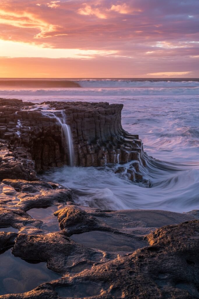
Image prompt: Dramatic cinematic photograph of Thor’s Well at sunset, ocean water pouring into the collapsed sea cave, warm orange and pink sky reflecting off wet volcanic rock, long-exposure motion blur on the waves, editorial travel photography style.
Along the central Oregon coast near Yachats, Thor’s Well looks like the ocean is draining into the earth itself.
It’s actually a collapsed sea cave that fills and empties dramatically with the incoming tide, especially striking around sunset.
This spot has picked up a following online in recent years, so it’s not exactly a secret anymore, but it still sees a fraction of the crowds you’d find at more famous coastal stops.
Always check tide tables and never turn your back on the ocean here; the rocks get slick and the waves are unpredictable.
Opal Creek Wilderness
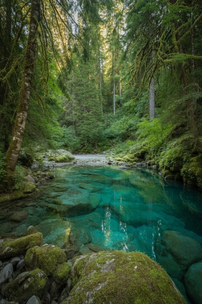
Image prompt: Ultra-realistic photograph of a crystal-clear turquoise pool in Opal Creek Wilderness, ancient old-growth trees towering overhead, dappled sunlight filtering through the canopy, moss-covered rocks along the creek bank, serene and untouched forest atmosphere.
East of Salem, Opal Creek Wilderness protects one of the largest remaining stands of ancient forest in Oregon, with trees over 1,000 years old towering above impossibly clear, turquoise pools.
The hike to Opal Pool and Jawbone Flats follows an old mining road, making it accessible without technical difficulty, though it is a solid several miles round trip.
Because the access road can be rough, a vehicle with decent clearance helps, and it’s worth calling ahead in wetter months to confirm road conditions.
Painted Hills
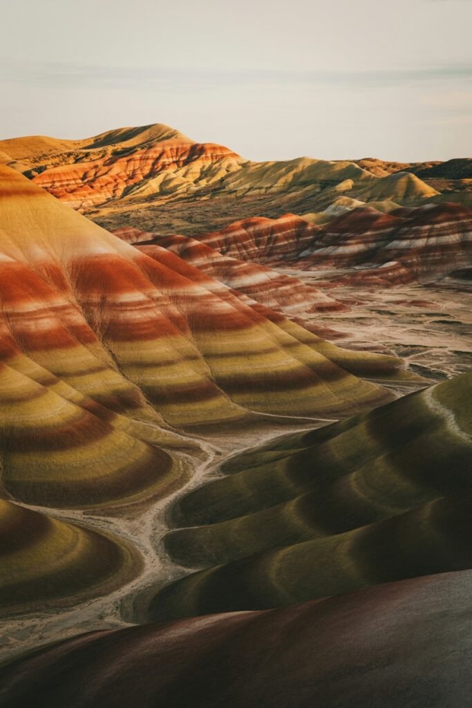
Image prompt: Cinematic golden-hour photograph of the Painted Hills, layered bands of red, gold, and black clay hillsides, dramatic side lighting emphasizing texture and color contrast, wide landscape composition, minimal sky, warm earthy color grade.
Part of the John Day Fossil Beds National Monument in central Oregon, the Painted Hills look almost unreal, with bands of red, gold, and black clay layered across rolling hillsides that formed over millions of years.
Because this monument sits well inland, away from the coastal route most travelers take, it rarely gets the visitor numbers of Oregon’s more famous natural attractions.
Go at golden hour if you can; the colors deepen dramatically as the sun lowers. It’s a fantastic stop if you’re already exploring some of the national parks worth visiting in August.
Cape Kiwanda
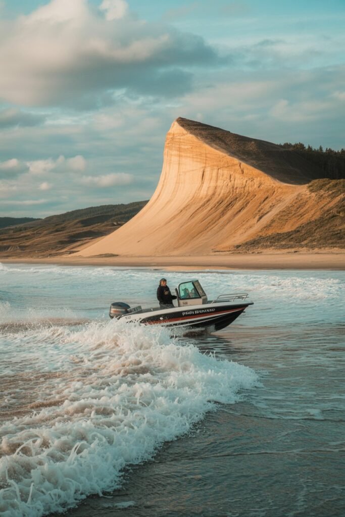
Image prompt: Wide-angle photograph of Cape Kiwanda’s sandstone dune rising above the Pacific, a dory fishing boat launching through the surf below, dramatic sky with scattered clouds, energetic coastal action shot, cinematic color tones.
Most people heading to the Oregon coast beeline for Cannon Beach, and it’s gorgeous, but Cape Kiwanda near Pacific City offers a quieter, wilder version of that same magic.
A massive sandstone headland rises above the beach, and you can climb the dune for sweeping views of Haystack Rock’s lesser-known cousin just offshore.
It’s also one of the few beaches in Oregon where you can watch dory boats launch directly into the surf, a tradition that’s been part of Pacific City’s fishing culture for generations.
Smith Rock State Park
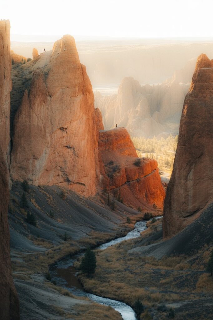
Image prompt: Cinematic photograph of red and gold volcanic cliffs at Smith Rock at golden hour, the Crooked River winding below, tiny silhouettes of rock climbers on distant cliff faces, warm dramatic side lighting, epic landscape composition.
Just north of Bend, Smith Rock State Park is a favorite among rock climbers but stays surprisingly under-visited by general travelers, given how striking it is. Jag
ged red and gold volcanic cliffs rise above a bend in the Crooked River, and the Misery Ridge Trail loop climbs steeply to a viewpoint before descending along the river’s edge, past climbers dotting the rock faces like tiny colorful specks.
Golden hour here is genuinely one of the best sunset views in the state, and it’s a fraction as busy as Oregon’s coastal viewpoints during that same window.
Silver Falls State Park’s South Falls Loop
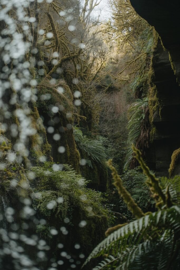
Image prompt: Ultra-realistic photograph taken from behind a waterfall looking out through falling water at a moss-draped forest, soft diffused light, fern-covered canyon walls, dreamy ethereal atmosphere, cinematic nature photography.
Silver Falls State Park, southeast of Salem, is often called the “crown jewel” of the Oregon state park system, and it earns that title with ten waterfalls connected by a single 7.2-mile loop trail.
What makes it feel like a hidden gem, even though it’s technically well documented, is how few visitors actually complete the full loop; most stop at South Falls, snap a photo, and turn around.
Push a little further and you’ll walk directly behind several of the falls through mossy, fern-draped grottos with barely another person in sight, especially on a weekday morning.
California’s Overlooked Treasures
Fern Canyon
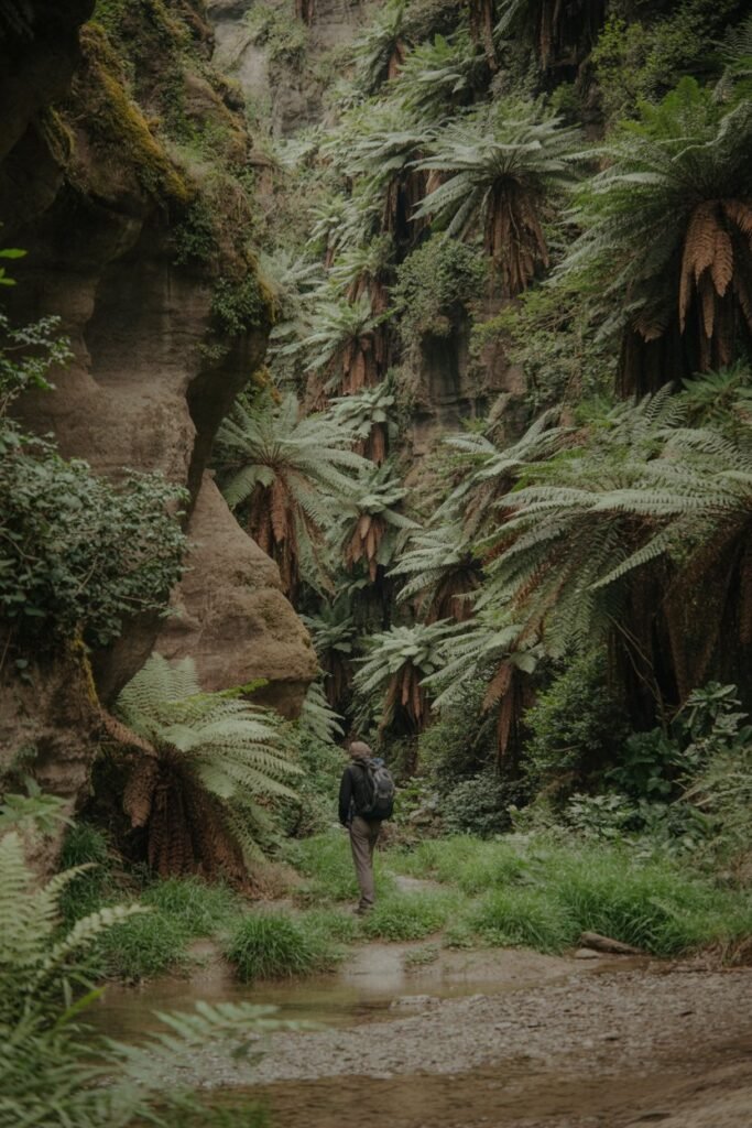
Image prompt: Cinematic photograph of a narrow prehistoric-looking canyon with fifty-foot fern-covered walls, a hiker in the foreground for scale, soft filtered forest light, shallow creek running through the canyon floor, lush green color palette, Jurassic-like atmosphere.
Inside Prairie Creek Redwoods State Park in Northern California, Fern Canyon carves a narrow gorge with fifty-foot walls dripping in five-spot and sword ferns.
It looks so prehistoric that it was actually used as a filming location for a Jurassic Park sequel, yet it sees a fraction of the visitors that flock to the more famous redwood groves further south.
A short loop trail takes you through the canyon along a shallow creek, so waterproof shoes are your best friend here. Because access requires a somewhat rough gravel road, and a permit is needed during peak season, it stays wonderfully uncrowded most of the year.
Alabama Hills
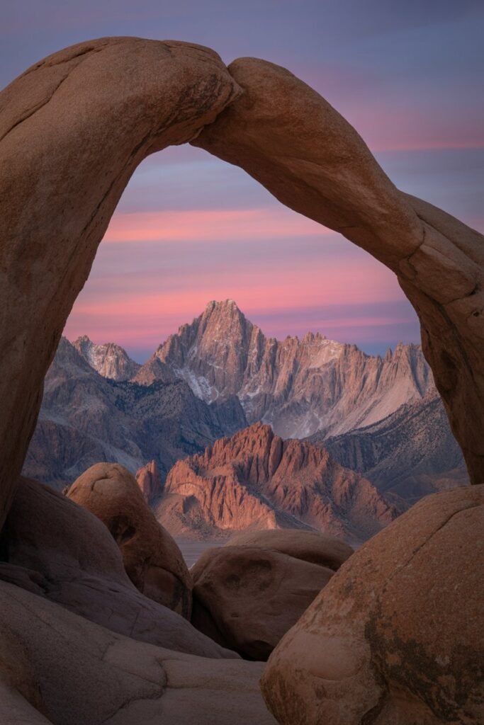
Image prompt: Ultra-realistic sunrise photograph through Mobius Arch, eastern Sierra Nevada peaks framed perfectly within the rock arch, warm pink and gold morning light, dramatic silhouetted foreground rocks, iconic western landscape composition.
Just outside Lone Pine, in the shadow of Mount Whitney, the Alabama Hills are a maze of ochre-colored rock formations that have quietly starred in hundreds of old Westerns and films.
Mobius Arch, the most photographed formation here, frames the eastern Sierra Nevada peaks perfectly at sunrise.
Unlike the nearby national parks, there’s no entrance fee and no timed reservation, just miles of dirt roads to explore by car or on foot. Bring a full tank of gas and download offline maps, since cell service disappears fast out here.
Salt Point State Park
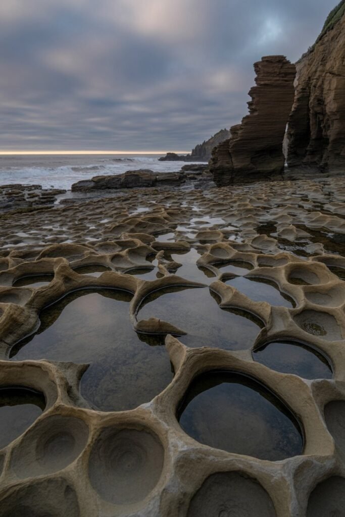
Image prompt: Cinematic photograph of honeycomb-textured sandstone bluffs at Salt Point, tide pools in the foreground reflecting the sky, moody overcast Sonoma Coast light, dramatic rugged coastline, muted natural color grade.
North of Sonoma along the rugged Sonoma Coast, Salt Point State Park gets overshadowed by the wine country crowds further inland, but it holds some of the most dramatic coastal scenery in California.
Sandstone formations pockmarked with “tafoni,” a honeycomb-like erosion pattern, line the bluffs, and tide pools teem with sea stars and anemones at low tide.
The park also protects a pygmy forest, where centuries-old trees grow only a few feet tall due to nutrient-poor soil, a strange and beautiful contrast to the towering redwoods elsewhere in the state.
Trinidad
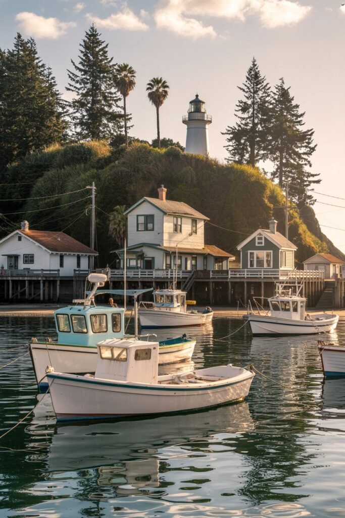
Image prompt: Charming coastal village photograph of Trinidad, California, a white lighthouse perched above a small harbor, fishing boats bobbing in calm water, soft golden afternoon light, cozy small-town travel photography style.
This tiny fishing village on California’s far north coast is easy to miss if you’re speeding along Highway 101, but it rewards anyone who slows down.
A historic lighthouse sits above the harbor, and short trails lead to secluded coves like Trinidad State Beach and Agate Beach, where you can search for sea glass and, true to the name, small agates.
It’s also a wonderful base for exploring the nearby redwoods without the crowds of more famous gateway towns.
Bodie Ghost Town
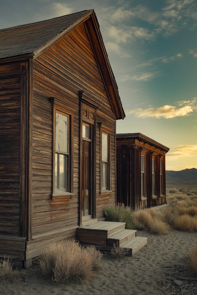
High in the eastern Sierra, Bodie State Historic Park preserves a genuine Gold Rush-era ghost town in a state of “arrested decay,” meaning buildings are maintained just enough to keep them standing, but nothing has been restored or rebuilt.
Peering through dusty windows into homes and shops left exactly as they were when residents departed feels like stepping into another century.
The road in is partially unpaved and the park closes seasonally due to snow, so check conditions before making the trip, especially outside summer months.
Point Reyes’ Quieter Beaches
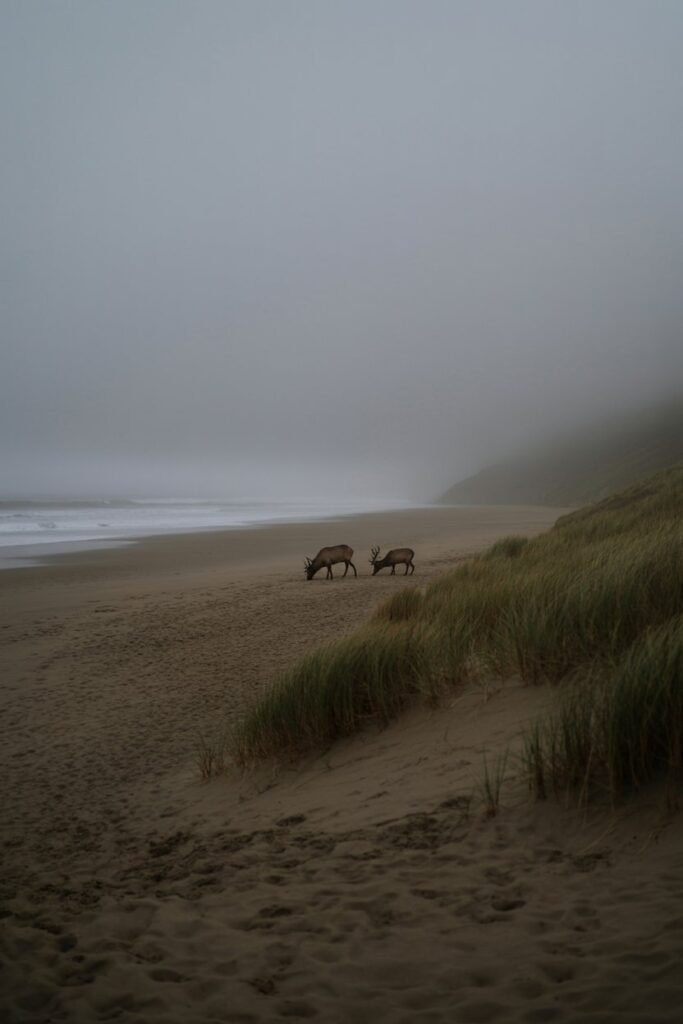
Point Reyes National Seashore gets its fair share of visitors at the lighthouse and Drakes Beach, but beaches like McClures Beach and Kehoe Beach on the park’s northern end see far fewer people, especially on weekdays.
Elk roam freely near Tomales Point, and the fog here creates a moody, almost otherworldly atmosphere that photographers chase for hours.
If you love this kind of dramatic coastal wandering, you might also enjoy my roundup of best-waterfall-hikes-in-america-a-girls-guide-to-chasing-the-most-breathtaking-falls-in-the-country, several of which pair well with a Northern California itinerary.
The Lost Coast
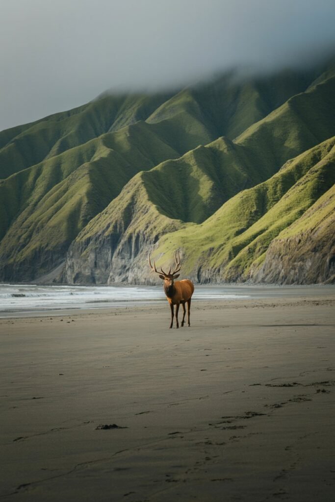
Stretching along a remote, roadless section of Humboldt and Mendocino Counties, California’s Lost Coast is one of the last truly undeveloped stretches of coastline in the state, and it stayed that way largely because Highway 1 was too difficult to build through the steep King Range mountains.
Backpackers hike the Lost Coast Trail over several days, camping on black sand beaches beneath cliffs where Roosevelt elk graze, but even a shorter day hike near the Mattole Beach or Black Sands Beach trailheads gives you a real taste of how wild this coastline still feels.
Tides move fast here and can cut off sections of trail, so a tide table is essential gear, not an afterthought.
Julia Pfeiffer Burns State Park’s Waterfall Overlook
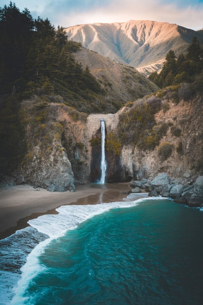
Big Sur as a whole is well known, but Julia Pfeiffer Burns State Park still manages to fly a little under the radar compared to its more famous neighbors like McWay Falls’ viewpoint further south.
Within the park, an easy half-mile trail leads to an overlook of an 80-foot waterfall that drops directly onto the beach below, one of only a handful of “tidefall” waterfalls on the entire West Coast.
Because the park limits parking to a relatively small lot, arriving early in the morning is the best way to avoid a wait, especially in summer.
Mountain Towns That Still Feel Like Secrets
If beaches and forests aren’t quite your thing, the West Coast also hides some wonderful mountain towns away from the ski-resort spotlight.
Places tucked into the Cascades and the Sierra foothills still have that small-town charm without the price tag or the traffic of their more famous neighbors.
I’ve written a full guide to cool mountain towns to escape the summer heat, and several of those towns line up perfectly with the route through Washington and Oregon outlined above.
Pair that with a stop at the the ultimate guide to north cascades national park, one of the least visited national parks in the entire system despite being only a few hours from Seattle, and you’ve got a genuinely off-the-beaten-path Pacific Northwest loop.
Planning Tips for Chasing Hidden Gems
A few things I’ve learned the hard way, so you don’t have to:
Download offline maps before you go. Many of these spots sit in cell service dead zones, and Google Maps will not save you when you’re three miles down a gravel forest road.
Check seasonal access. Places like Bodie Ghost Town, Opal Creek, and parts of Dungeness Spit have limited access windows depending on weather, tides, or road conditions.
A quick call to the local ranger station or a check of the park’s official website before you leave can save you a wasted trip.
Fill your gas tank more than you think you need to. Rural stretches of Highway 101 and the backroads through central Oregon can go long distances without a station.
Respect Tribal and protected lands. Spots like Cape Flattery sit on Tribal land, and others fall within state parks or wilderness areas with specific rules about camping, fires, and permits. A little research ahead of time keeps these places special for the next traveler too.
Go slow. The whole point of a hidden gem is that it doesn’t want to be rushed. Give yourself an extra day in your itinerary if you can, and let yourself wander.
If you’re mapping out a longer road trip around these stops, my guide to the best summer van routes is a great place to start building out your route, and if you’re road-tripping in cooler months, cool weather van life destinations for August covers a few more overlooked stops worth adding.
Frequently Asked Questions
When is the best time to visit these hidden gems? Late spring through early fall gives you the most reliable weather and road access across all three states, especially for the higher-elevation spots like Ross Lake, Smith Rock, and Bodie, which can close or become difficult to reach in winter.
That said, coastal spots like Trinidad, Cape Kiwanda, and Point Reyes’ quieter beaches are lovely nearly year-round, and visiting in the shoulder season often means having them almost entirely to yourself.
Do I need a permit to visit any of these places? A few do.
Cape Flattery requires a Makah Recreation Pass, Fern Canyon requires a permit during peak summer months, and some Wilderness areas like Opal Creek may require a day-use permit depending on the season.
It’s always worth checking the relevant state park, national park, or Tribal land website a few days before you go, since requirements can shift.
Is it safe to travel to these spots solo? Many of these places are wonderful solo trips, and plenty of women travel them alone every year, myself included.
That said, cell service is spotty at several of these locations, so tell someone your route and expected return time, carry a paper map as backup, and consider a satellite communicator if you’re heading somewhere especially remote, like the Lost Coast or Ross Lake.
What should I pack for a West Coast hidden gem road trip? Layers are non-negotiable, since coastal fog, mountain elevation, and inland heat can all show up in the same day.
Waterproof hiking shoes, a headlamp, extra water, and a physical map are worth the space in your bag. If you want a full packing breakdown, my guide on how to avoid overpacking for summer travel is a good place to start before you hit the road.
Final Thoughts
The West Coast has no shortage of famous, breathtaking, thoroughly Instagrammed places, and honestly, they earned that fame.
But some of my favorite travel memories live in the quieter corners: the empty overlook at Palouse Falls, the fog rolling over Kehoe Beach with no one else around, the strange stillness of Bodie’s abandoned streets.
These places ask a little more of you, a longer drive, a bit of planning, maybe a gravel road or two, but they give back something the crowded spots simply can’t: room to actually feel the place you’re standing in.
So next time you’re planning a West Coast trip, leave a little space in your itinerary for the unmarked turnoff, the town that isn’t on the top-ten list, the trail nobody’s talking about. That’s usually where the best stories start.