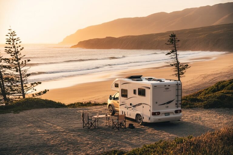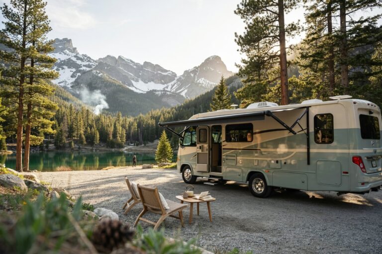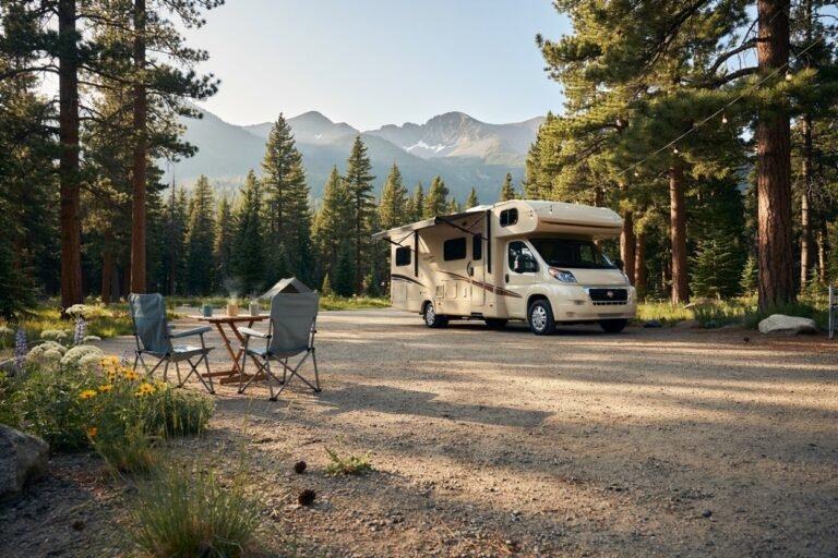


There is something about the first cold morning of the season, coffee steaming in your hands, condensation on the windshield, that makes van life feel like it was made for fall.
I’ve chased leaf color from Virginia’s ridgelines to the aspens above Aspen, and every single time, autumn has been my favorite season to live out of a van.
The light gets softer, the crowds thin out, the bugs disappear, and the whole world turns gold. These are the six routes I keep coming back to, and everything you need to actually get there.
Why Fall Is the Best Season for Van Life
Before we get into the destinations, here’s why I’d pick October over July every time. Campgrounds and dispersed sites that were slammed all summer start opening back up in September.
Daytime temperatures hover in that perfect 55–70°F sweet spot for hiking, cooking outside, and sleeping with the windows cracked. Bugs are basically gone.
And the light that low, golden, hour-long “magic hour” shows up twice a day instead of once. The tradeoff is that nights get cold and daylight gets short, so pack accordingly (more on that at the end).
Quick Tips Before You Roll Out
A few things that make fall van life smoother, regardless of which route you pick:
- Download offline maps. Google Maps offline areas, plus apps like iOverlander, FreeRoam, and The Dyrt for finding legal free camping (BLM land, national forest dispersed sites) since cell service disappears fast in the mountains.
- Watch the leaf-peeping reports. Sites like the Smoky Mountains Visitor Center foliage map or SmokyMountains.com’s interactive fall foliage tracker update weekly and can shift your timing by 1–2 weeks in either direction.
- Fill up on propane and water before you climb. Small mountain towns run out of both fast during peak leaf season.
- Book weekend sites ahead. Fall weekends near popular parks fill up days in advance, even for dispersed spots — arrive Thursday if you can.
Here’s an overview map of all six destinations so you can see how they sit relative to each other before we go deep on each one.
Fall van life map guide
🍂 Fall Van Life Destinations
1. Skyline Drive & Shenandoah National Park, Virginia
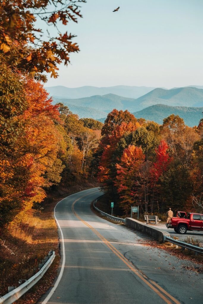
Shenandoah was my first real fall van life trip, and it ruined me for anything less scenic.
Skyline Drive runs 105 miles along the spine of the Blue Ridge Mountains, with 75 overlooks where you can just pull off and stare at the valley turning red and orange below you.
How to find it: The park has four entrances — Front Royal (north), Thornton Gap, Swift Run Gap, and Rockfish Gap (south, near Waynesboro).
If you’re coming from Washington, D.C., take I-66 West to Front Royal and enter at the northern tip; this gives you the full 105-mile drive south. GPS coordinates for the Front Royal entrance: 38.9012° N, 78.1994° W.
Amazing stops along the way:
- Front Royal — grab last-minute groceries and fuel before the park; it’s also home to a small but charming downtown worth a coffee stop.
- Dickey Ridge Visitor Center (mile 4.6) — great first overlook and a place to grab a park map and check ranger foliage updates.
- Skyland Resort (mile 41.7) — the highest point on Skyline Drive, with a restaurant and sunset views that stop conversations mid-sentence.
- Big Meadows (mile 51) — wide open fields perfect for a picnic and, if you’re lucky, deer grazing at golden hour.
What to do: Hike to Dark Hollow Falls (1.4 miles round trip, easiest waterfall hike in the park), drive the full length of Skyline Drive at sunset, stargaze at Big Meadows (an official Dark Sky location), and catch sunrise from Hawksbill Summit, the highest peak in the park.
What to buy: Apple butter and cider from roadside stands in Front Royal or Luray, a park patch or pin from any visitor center gift shop, and locally made honey Shenandoah Valley honey is genuinely some of the best I’ve had.
Where to camp: The park has four campgrounds (Mathews Arm, Big Meadows, Lewis Mountain, Loft Mountain) but none have hookups, so it’s dry camping either way might as well save the fee and check iOverlander for dispersed spots in George Washington National Forest just outside the park boundary.
Best time to go: Peak color typically hits Shenandoah in mid to late October, starting at the higher elevations and working its way down.
Check the park’s weekly foliage report before you commit to dates, since a windy week can strip the ridgelines faster than you’d expect.
2. Cades Cove & the Great Smoky Mountains, Tennessee/North Carolina
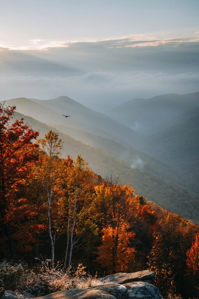
The Smokies get their name from the blue-gray haze that sits over the mountains, and in fall that haze turns into a backdrop for what might be the most dramatic foliage display in the eastern U.S.
This is the most visited national park in the country for a reason.
How to find it: There are two main gateway towns Gatlinburg, TN on the north side and Cherokee, NC on the south side.
Coming from Knoxville, take US-441 South directly into the park through Gatlinburg. GPS coordinates for the Sugarlands Visitor Center entrance: 35.6825° N, 83.5352° W.
Amazing stops along the way:
- Gatlinburg — touristy but useful for last supplies, and the Arts & Crafts Community loop on the edge of town has genuinely beautiful local pottery and woodwork.
- Sugarlands Visitor Center — check current foliage status and grab trail maps before heading further in.
- Newfound Gap (mile marker on US-441) — the highest drivable point in the park and the state line between Tennessee and North Carolina; the overlook here is postcard-perfect in October.
- Cherokee, NC — if you exit south, stop for fry bread and to browse the Eastern Band of Cherokee Indians’ cultural sites.
What to do: Drive the Cades Cove Loop Road at dawn (11-mile one-way loop through historic homesteads, deer, sometimes black bears), hike to Laurel Falls (easy, paved, 2.6 miles round trip), catch sunrise from Clingmans Dome or the newly renamed Kuwohi, the highest point in the park, and drive the Roaring Fork Motor Nature Trail for a quieter, more intimate fall drive than Cades Cove.
What to buy: Handmade quilts and mountain crafts from the Great Smoky Arts & Crafts Community near Gatlinburg, moonshine or apple butter from a local distillery, and a Smoky Mountains foliage map/guidebook from any visitor center genuinely useful for timing your trip in future years.
Where to camp: Cades Cove and Elkmont campgrounds are inside the park and beautiful but book out fast in fall reserve on Recreation.gov weeks ahead.
If you’re van-dwelling without hookups, check Cherokee National Forest or Nantahala National Forest just outside the park for dispersed sites.
Best time to go: Because the Smokies span such a huge elevation range, color moves through in waves higher elevations turn in early-to-mid October, valley areas like Cades Cove often peak closer to late October or the first week of November.
This spread means you can chase color here for nearly a month if your route is flexible.
3. Acadia National Park, Maine
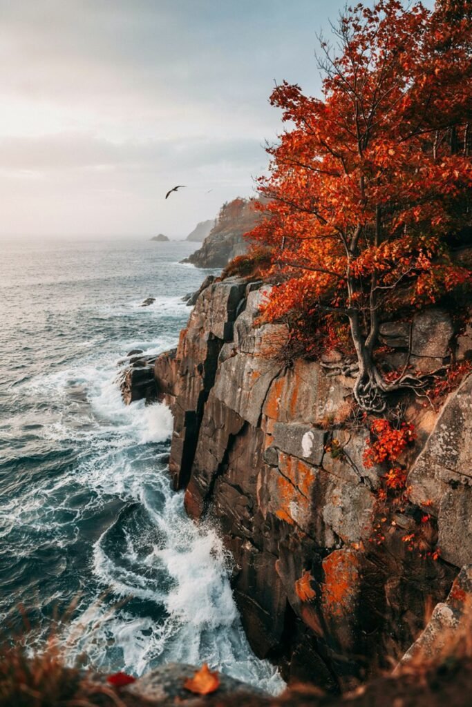
Acadia gives you something none of the other stops on this list can: fall foliage colliding directly with the rocky Atlantic coastline. Red maples against granite cliffs against navy blue ocean it’s a completely different flavor of autumn.
How to find it: Acadia sits on Mount Desert Island, reached via ME-3 from Ellsworth, Maine. Coming from Bangor, take I-395 to US-1A, then ME-3 south onto the island toward Bar Harbor. GPS coordinates for the main park entrance near Bar Harbor: 44.3386° N, 68.2733° W.
Amazing stops along the way:
- Ellsworth — your last real grocery and fuel stop before the island; also has a sweet downtown with local bakeries.
- Bar Harbor — the main gateway town, worth a stroll through the shops and harbor before heading into the park.
- Sand Beach — a quick, easy stop right off the Park Loop Road.
- Jordan Pond House — the only restaurant inside the park, famous for popovers with a view of the twin mountains called The Bubbles.
What to do: Watch sunrise from Cadillac Mountain (reservation required October is easier than summer, but still book ahead), hike the Ocean Path along the coastline for the easiest way to see cliffs, waves, and foliage in one walk, bike or drive the Park Loop Road, and do the Jordan Pond Path (3.3 miles, flat, and one of the most photographed views in Maine).
What to buy: Wild Maine blueberry jam or blueberry-anything, a hand-thrown pottery mug from a Bar Harbor shop, and fresh lobster straight off the boat if you can find a dock sale this is Maine, after all.
Where to camp: Blackwoods and Seawall campgrounds are inside the park and require reservations.
For free dispersed camping, look toward the “quiet side” of Mount Desert Island or nearby national forest land but Acadia is genuinely tight on legal free camping, so book a site ahead if you can.
Best time to go: Acadia’s color usually peaks in the first two to three weeks of October, a bit earlier than parks further south because of the coastal climate and northern latitude.
Weekday visits in early October give you the best odds of both good color and manageable crowds.
4. Maroon Bells & Aspen, Colorado
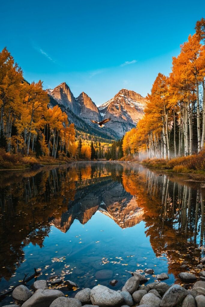
If you want the single most iconic aspen-gold photo in America, this is it.
The Maroon Bells reflected in Maroon Lake, framed by a wall of golden aspen trees, is one of the most photographed mountain scenes in the country, and for good reason.
How to find it: From Aspen, take Maroon Creek Road southwest.
During peak season (typically 8am–5pm, roughly early June through mid-October) private vehicles are restricted and you’ll need to take the Maroon Bells shuttle bus from Aspen Highlands, so plan your van as your basecamp rather than your ride to the viewpoint. GPS coordinates for Maroon Lake: 39.0994° N, 106.9394° W.
Amazing stops along the way:
- Glenwood Springs — a great overnight stop with hot springs to soak in before the final push to Aspen.
- Aspen Highlands — where the shuttle to Maroon Bells departs; grab coffee here before the ride up.
- Independence Pass (if coming from the east on US-24/CO-82) — one of the highest paved passes in Colorado, and the aspen groves along it rival the Bells themselves.
What to do: Ride the shuttle to Maroon Lake for the classic reflection shot (arrive as early as possible, before or right at opening, for the best light and fewest people), hike the first mile of the Crater Lake Trail for an even quieter, higher-up view, drive Independence Pass for a full aspen-tunnel experience, and wander downtown Aspen’s shops even if the prices make you laugh.
What to buy: Local honey or jam from the farmers market if you catch it in September, a wool beanie or gloves mountain nights here drop fast and you’ll actually use them, and Colorado peach salsa, which sounds odd and is somehow incredible.
Where to camp: Dispersed camping is abundant in White River National Forest around Aspen check FreeRoam or iOverlander for current spots, since some areas near Maroon Bells have seasonal closures.
Weekends fill fast in late September/early October, the peak of the color.
Best time to go: This one moves fast Colorado aspens typically peak in a tight window from mid-to-late September through the first few days of October, and a single hard frost or windstorm can end the show overnight.
If your schedule is flexible, watch local Colorado foliage trackers closely and be ready to move within a few days’ notice.
5. Sedona, Arizona
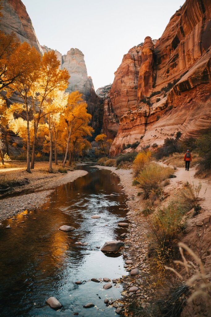
Sedona is proof that fall foliage doesn’t require the East Coast or high alpine peaks. Here, the show is cottonwoods and sycamores turning bright yellow against red rock canyon walls a color combination you won’t find anywhere else on this list.
How to find it: Sedona sits along AZ-89A, about two hours north of Phoenix or 45 minutes south of Flagstaff.
From Phoenix, take I-17 North to AZ-179, which brings you straight into town through the famous “Gateway to Sedona” red rock formations. GPS coordinates for the town center: 34.8697° N, 111.7610° W.
Amazing stops along the way:
- Flagstaff — if coming from the north, this is a good fuel and grocery stop, and it has its own fall color from the aspens on the San Francisco Peaks.
- Oak Creek Canyon (AZ-89A between Flagstaff and Sedona) — this canyon drive is arguably the best fall foliage viewing in Arizona, with cottonwoods and maples lining the creek.
- Slide Rock State Park — a natural water slide carved into red rock, gorgeous even in cooler fall weather.
What to do: Drive Oak Creek Canyon slowly with the windows down, hike West Fork Trail (the best fall color hike in the region, following the creek through a narrowing canyon), watch sunset light up the rocks from Airport Mesa, and browse the galleries of Tlaquepaque Arts & Crafts Village.
What to buy: Turquoise jewelry from a local artisan shop (ask where it’s sourced Sedona has both authentic and imported options), prickly pear syrup or jam, and a piece of pottery or Native American art from one of the galleries in Tlaquepaque.
Where to camp: Coconino National Forest surrounds Sedona and has extensive dispersed camping check current fire restrictions and closures before you go, since some areas near town have seasonal limits.
Beaverhead Flat Road and the area near the airport mesa are popular free-camping zones.
Best time to go: Sedona’s cottonwood and sycamore color peaks later than most of this list, usually in late October through mid-November, since the desert climate holds onto warmth longer.
This makes it a great late-season option if you’ve missed peak color elsewhere and want a second chance at fall.
6. Hocking Hills State Park, Ohio
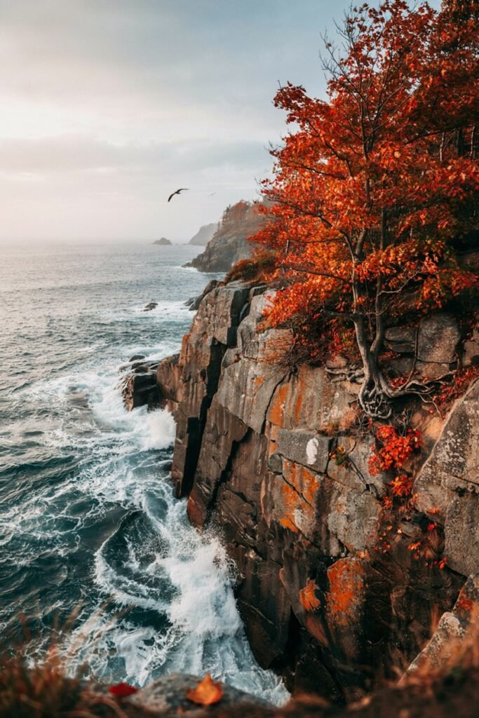
Hocking Hills is the underdog on this list, and I mean that as the highest compliment.
It’s a Midwest gem full of slot canyons, waterfalls, and caves, all wrapped in dense hardwood forest that turns into a full spectrum of red, orange, and gold every October.
How to find it: The park sits about an hour southeast of Columbus, near the town of Logan, Ohio.
From Columbus, take US-33 South directly to Logan, then follow signs to the park’s main areas (Old Man’s Cave, Ash Cave, Cedar Falls). GPS coordinates for the Old Man’s Cave Visitor Center: 39.4372° N, 82.5361° W.
Amazing stops along the way:
- Logan, Ohio — the small gateway town has diners, a grocery store, and gas — your last real stop before heading into the hollows.
- Old Man’s Cave — the most popular area in the park, with a gorge trail through waterfalls and rock formations.
- Ash Cave — the largest recessed cave in Ohio, an easy, mostly flat walk that ends at a massive stone amphitheater with a waterfall.
What to do: Hike the Grandma Gatewood Trail connecting Old Man’s Cave to Cedar Falls and Ash Cave (about 6 miles one way, the best single hike in the park), walk behind the waterfall at Ash Cave, explore Rock House, a genuine tunnel-like cave formation, and go early or on a weekday this park gets crowded fast during peak leaf season.
What to buy: Maple syrup from a local Hocking Hills producer (several farms sell direct in fall), apple cider donuts from roadside stands around Logan, and a hand-carved wooden item from one of the small craft shops in the area this region has a strong woodworking tradition.
Where to camp: Hocking Hills State Park’s campground has both electric and non-electric sites and is a good option if you want hookups.
For free dispersed camping, Wayne National Forest is close by, or check iOverlander for privately listed spots near the park this is a more developed area than the others on this list, so free boondocking is more limited.
Best time to go: Peak color in Hocking Hills usually lands in mid-to-late October.
Because the trails run through narrow gorges and hollows, the canopy overhead creates an almost tunnel-like effect at peak color that you don’t get from open ridgeline views elsewhere on this list.
Your Fall Van Life Packing List
A few things I never leave home without once temperatures start dropping:
- A reliable heater rated for enclosed spaces (with proper ventilation — carbon monoxide safety is non-negotiable)
- Extra propane — small towns near these parks run low fast in October
- Layers: a warm base layer, a fleece or wool mid-layer, and a waterproof outer shell
- A headlamp — daylight disappears by 6:30pm in most of these locations by mid-October
- Wool socks and slippers for cold van mornings
- A paper map or offline GPS as backup cell service vanishes in every single one of these places
Fall Van Life FAQ
Do I need 4WD for these routes? No every destination on this list is reachable by paved road, and most of the recommended dispersed camping areas near them are accessible with a standard van in dry conditions.
That said, 4WD or AWD gives you more flexibility if you want to explore deeper into national forest roads, and it’s genuinely helpful if fall rain turns dirt roads to mud.
Is it safe to boondock alone as a woman in these areas? I’ve solo camped in versions of nearly every spot on this list and felt comfortable doing so.
A few habits that help: arrive at your camp spot with enough daylight left to settle in, trust your gut if a spot feels off and move on, share your location with a friend or family member each night, and lean on apps like iOverlander, where other travelers leave notes on how a site actually felt to stay at.
How cold does it actually get at night in October? It varies a lot by elevation and location. Coastal Acadia and desert Sedona tend to stay milder, often in the 40s°F overnight.
Higher elevation spots like Shenandoah, the Smokies, and especially Maroon Bells near Aspen can dip into the 20s and 30s°F by late October, so a good heater and warm bedding aren’t optional up there.
Can I do more than one of these destinations in a single trip? Absolutely, though the geography makes it easier to pair some than others. Shenandoah and the Smokies sit along a natural southbound Appalachian route and pair beautifully in a two-to-three week trip.
Hocking Hills works well as an add-on if you’re already routing through Ohio. Maroon Bells and Sedona can be linked through a broader Southwest/Rockies loop, while Acadia, being the furthest northeast, tends to work best as its own dedicated trip.
Related Reads You’ll Love
If this trip has you dreaming of more autumn road time, here’s where to go next on the blog:
- Best Summer Van Routes: My Favorite Roads for Sun-Soaked Freedom
- Cozy Van Setup Ideas for Summer: How to Create a Comfortable, Cool, and Dreamy Space on the Road
- Van Life Kitchen Essentials: The Complete Guide to Cooking Happy on the Road
- Best Places to See Fall Colors in America: Your Ultimate Leaf-Peeping Guide
- How to Visit Vermont in the Fall
- 10 Best National Parks for Fall Colors
- Cozy Small Towns for Fall Foliage: The Dreamiest Places to Experience Autumn Magic
Final Thoughts
Every one of these routes has earned a permanent spot on my fall calendar, and I genuinely believe there isn’t a bad choice on this list only a matter of which flavor of autumn you’re craving.
Mountains and maple trees, red rocks and cottonwoods, or granite cliffs meeting the Atlantic.
Wherever you point your van this October, go early, go slow, and let the season do what it does best. Safe travels, and I’ll see you out there.